Weather forecasts work by measuring the current state of the atmosphere, feeding those measurements into computer models that apply the laws of physics, and then having human forecasters interpret the results. Forecasts are not guesses, but they are probabilities, which is why they are more reliable tomorrow than next week.
Step one: observing the atmosphere
Everything starts with data. Weather stations on land record temperature, pressure, humidity, wind, and rainfall. Ships and buoys do the same over the oceans, and aircraft report conditions as they fly.
Weather balloons carry instruments aloft to sample the upper atmosphere, and radar detects precipitation by bouncing signals off raindrops and snowflakes. Satellites watch cloud patterns, temperatures, and moisture from above, covering regions where no ground instruments exist.
Step two: building the starting picture
Raw observations are scattered and imperfect, so meteorologists blend them into a single consistent snapshot of the atmosphere. This process is called data assimilation. It uses the previous forecast as a guide and adjusts it with fresh measurements.
The quality of that starting snapshot matters a great deal. Small errors at the beginning can grow as the model runs forward in time.
How weather forecasts work: numerical models
A numerical weather model divides the atmosphere into a three-dimensional grid. For each grid box, a supercomputer solves equations describing how air moves, heats, cools, and carries moisture. It then steps forward in short increments, producing a picture of the atmosphere hours and days ahead.
Different weather services run different models, and each has strengths. Some cover the whole globe at moderate detail, while others focus on a region at finer detail to capture local features like storms.
Why ensembles matter
Because the starting data is never perfect, forecasters often run the same model many times with slightly different inputs. This group of runs is called an ensemble. If the runs mostly agree, confidence is higher. If they scatter widely, the forecast is less certain.
Step four: the human forecaster
Models produce numbers, not finished forecasts. Forecasters compare model output, check it against recent observations, and use experience to spot where models tend to struggle, such as with fog, sea breezes, or storms in mountainous terrain. They then turn it into the forecast you read or hear.
How far ahead can a forecast be trusted?
Accuracy declines as you look further out, because small uncertainties compound in a chaotic system. A general guide is below, though it varies by region and season.
| Lead time | Typical reliability |
|---|---|
| Next few hours | Very high, aided by radar |
| 1 to 3 days | High for temperature and general conditions |
| 4 to 7 days | Useful for broad trends, less for exact timing |
| Beyond about 10 days | Low for specific daily detail |
What “30% chance of rain” really means
This is the most misunderstood line in any forecast. In the United States, the probability of precipitation reflects both how confident the forecaster is that rain will occur somewhere in the area and how much of the area is expected to be covered. It does not mean it will rain for 30 percent of the day.
A practical way to use it: a low percentage means a lower chance you personally get wet, not a promise that you will stay dry. For an outdoor event, keep a backup plan once the number climbs past a level you are uncomfortable with.
Getting more from a forecast
- Check the forecast more than once, as updates improve near-term accuracy.
- Look at the range, not just the single temperature.
- Pay attention to forecasts for your exact area, since conditions can differ over short distances.
- Take official weather warnings seriously and follow local instructions.
Forecasts are also a good example of how to read uncertainty in the news. The same attention to probabilities and ranges applies when you learn what inflation reports measure, and a careful reader will find that spotting misinformation often comes down to checking claims about confidence and certainty. Time-based details even depend on knowing how time zones work, since forecasts and warnings are issued in local time. For more, visit our News category.
Key takeaways
- Forecasts combine observations, physics-based models, and human judgment.
- Ensembles show how confident a forecast really is.
- Short-range forecasts are far more reliable than long-range ones.
- A rain probability combines confidence and area coverage.
- Check updates, and follow official warnings.
Frequently asked questions
Why do forecasts sometimes get it wrong?
The atmosphere is chaotic, so tiny gaps in the starting data can grow into big differences later. Forecasts are best understood as probabilities rather than certainties.
Which is more accurate, a 3-day or a 10-day forecast?
The 3-day forecast. Accuracy falls as the lead time grows, so the further out you look, the more you should treat details as broad trends.
Do different weather apps give different forecasts?
Often, yes. They may rely on different models or blend several, and some adjust results for local conditions. Comparing a few sources can show how much agreement there is.
What does a forecast model actually calculate?
It uses equations of fluid motion and thermodynamics to simulate how air, heat, and moisture change over time across a grid covering the atmosphere.
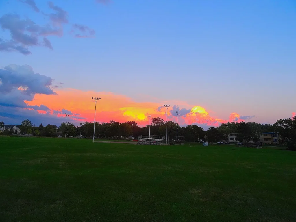
Photo: Cumulonimbus Storm Clouds – panoramio by Corey Coyle, CC BY 3.0, via Wikimedia Commons